
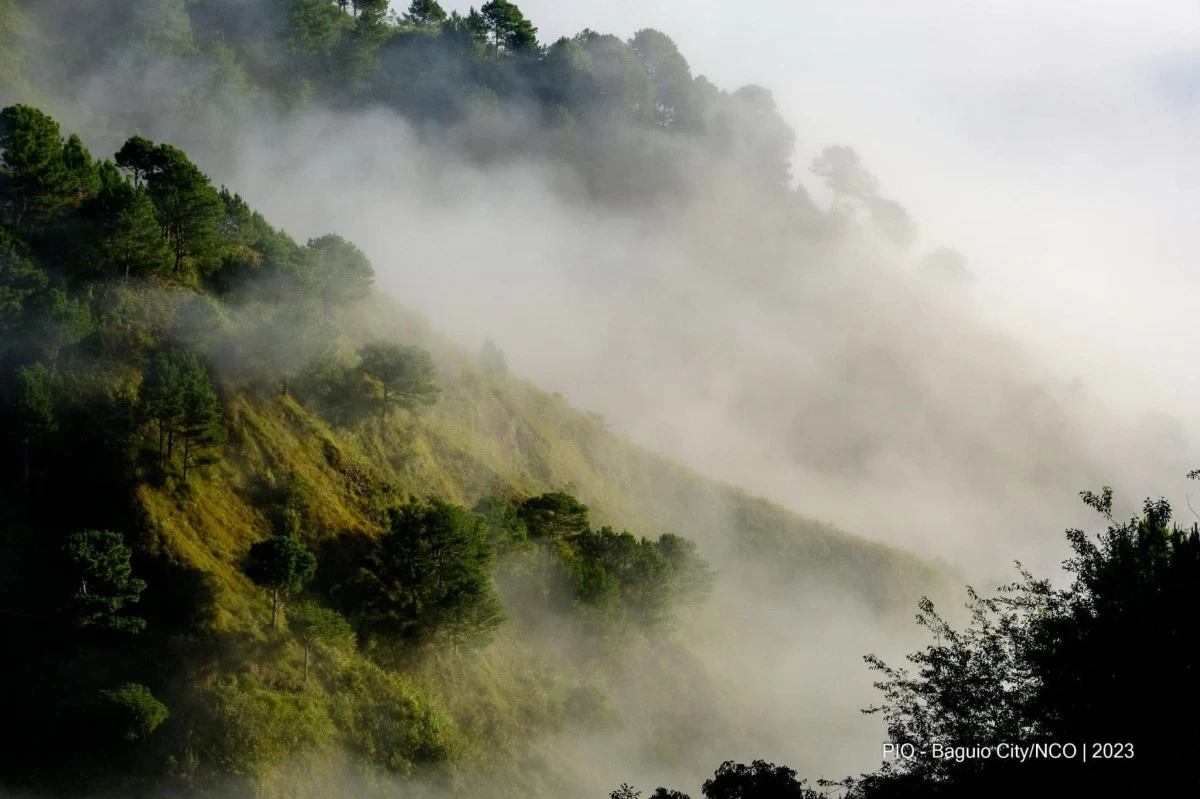
Those planning a quick weekend getaway to the mountains of northern Luzon may want to pack extra layers as temperatures are expected to drop further with the strengthening…
Those planning a quick weekend getaway to the mountains of northern Luzon may want to pack extra layers as temperatures are expected to drop further with the strengthening of the northeast monsoon, or “amihan.” The Philippine Atmospheric, Geophysical and Astronomical Services Administration (PAGASA) said on Friday, Nov. 6, that the amihan would become stronger over the weekend and may continue to intensify until early next week.
Cordillera Administrative Region, Ilocos Region, and Cagayan Valley are expected to experience lower temperatures, particularly in elevated areas, while gusty winds are also expected over extreme Northern Luzon, PAGASA weather specialist Leanne Loreto said. “Inaasahan po natin yung amihan na event na ito ay mas lalakas pa over the weekend and even up to early next week.
So expected po para sa mga kababayan natin na nasa tuktok ng bundok ngayon dito sa northern Luzon ay makakaranas pa tayo ng mas pababang temperatura over the weekend (We expect the amihan to become stronger over the weekend and continue to intensify until early next week. Those visiting the mountainous areas of Northern Luzon can expect temperatures to drop further over the weekend),” Loreto said. La Trinidad, Benguet recorded a minimum temperature of 10.6 degrees Celsius on Thursday, Nov.
5, the lowest recorded in the country so far this November. The drop in temperature also resulted in a frost event in the area. While northern Luzon is expected to have cooler weather, the rest of the country will generally remain warm and humid due to the easterlies, or winds coming from the Pacific Ocean. Metro Manila and most parts of the country are expected to have generally fair weather, although localized thunderstorms may still bring brief periods of rain over Central and Southern Luzon.
The easterlies may also bring rain showers and thunderstorms to Eastern Visayas, Caraga, and Davao Oriental, where cloudy periods are expected. Elsewhere in the Visayas and Mindanao, partly cloudy to cloudy skies are expected, with thunderstorms possible from noon to afternoon. Meanwhile, PAGASA is monitoring a tropical depression outside the Philippine Area of Responsibility (PAR), more than 3,000 kilometers east of Central Luzon. The weather disturbance is moving westward at 30 kilometers per hour and could enter PAR by Sunday or Monday, Nov. 8 or Nov.
This is a source-linked briefing. Read the original report from Manila Bulletin .